Dynamic Robot Systems Group is a research group in Oxford Robotics Institute and part of University of Oxford’s Department of Engineering Science. We research mapping, 3D perception and navigation for dynamically moving robots such as legged robots, autonomous vehicles, aerial robotics, and handheld mapping systems.
If you are interested joining our team read the Join Us page.
News
09/09/2025
SiLVR has been accepted at the IEEE Transactions on Robotics (T-RO). This work features epistemic uncertainty estimation for Lidar-visual NeRFs in the context of large-scale reconstruction.
12/05/2025
Oxford Spires Dataset is accepted in International Journal of Robotics Research (IJRR). This dataset features multiple colour cameras, lidar and precise ground truth 3D map, and can be used for both SLAM methods and radiance fields (NeRF and 3DGS).
13/02/2025: Forest of Dean Demo
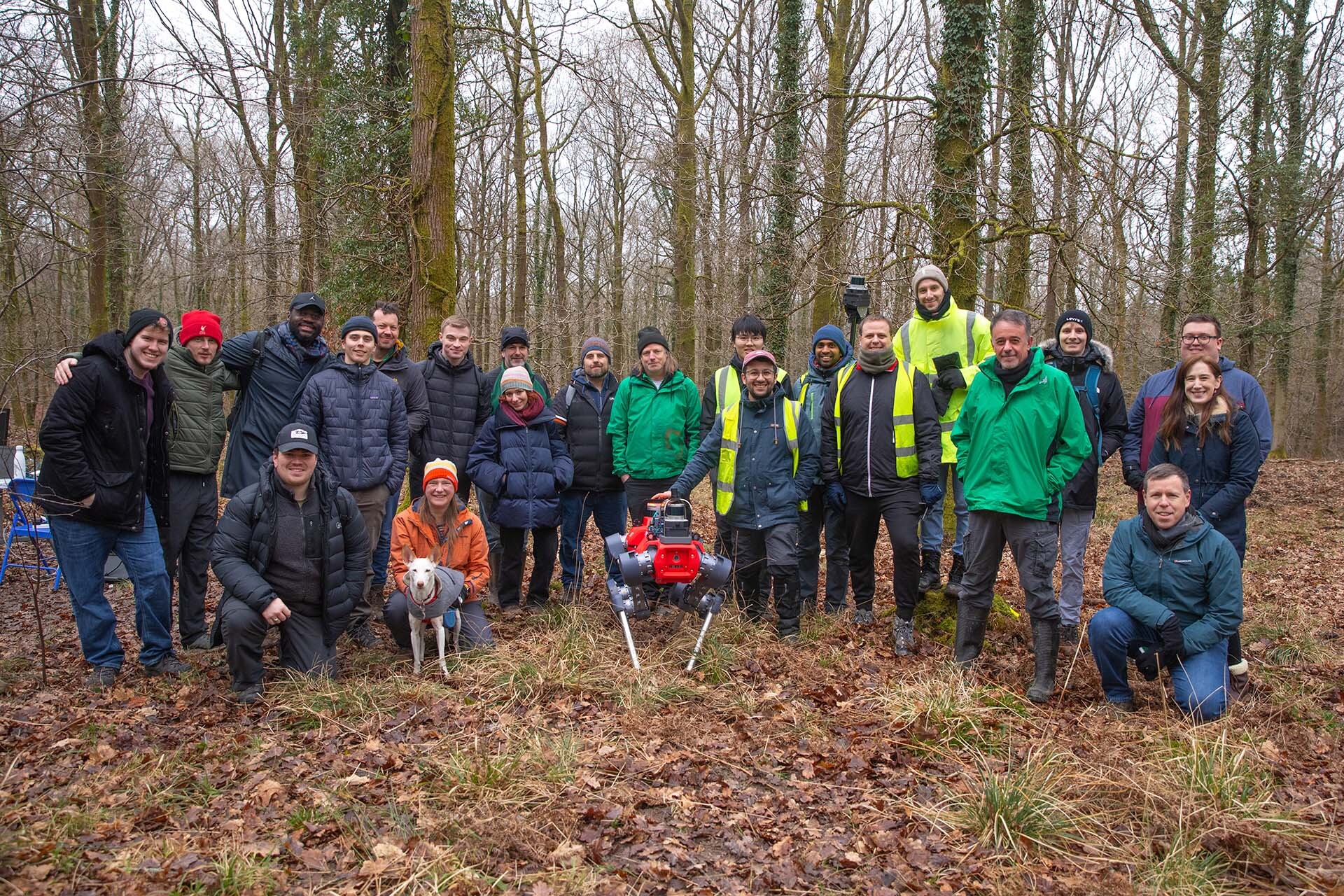
Our team gave a demo of their research and the broader activity in DigiForest to UK Forestry Researchers. It was carried out in Forest of Dean, Gloucestershire, England. Attendees included masters students from University of Swansea, researchers from Southampton and scientists from Forest Research UK. We demonstrated the ANYmal robot autonomously exploring a plot of the plantation, as well as our backpack-based forest inventory system.
We thank Dr. Juan Suarez of Forest Research UK for arranging and promoting the event, as well as Tom Wilkinson and Tom Fuller from Oxford’s Public Affairs Directorate for the creation of upcoming media to help promote the project.

15/11/2024
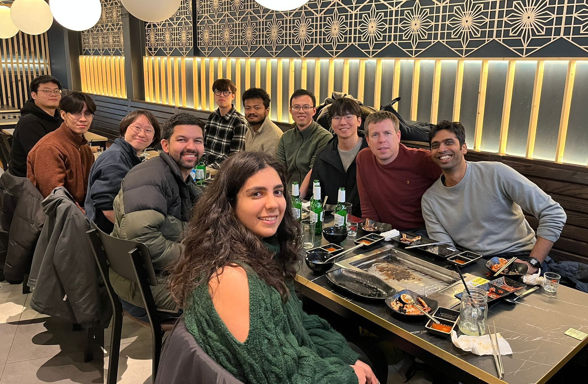
Group social! Korean BBQ at Yori to welcome Hyeonjae and Dongjae who are visiting from Ayoung Kim’s group in SNU to kick off our collaborative project.

05/10/2024
Three papers from DRS will appear at IROS 2024. Details about the papers and videos are below:
- Haedam Oh did a detailed study of the performance of lidar place recognition methods for wide-baseline localisation in forest environments. His system can merge multiple hectare-sized maps into a since consistent map. paper. video.
- Leonard Freissmuth (visiting student from TU Munich) developed a real-time tree instance extraction and fitting system. It now a key component for the DigiForest project. The particular approach ammortizes computation by collecting submaps of the forest yet still achieves 1–2cm error for DBH estimation (which is near perfect). paper. video.
- Benoit Casseau developed a method to merge terrestrial and aerial lidar scans so as to achieve a complete reconstruction. The method operates locally by deforming the terrestrial SLAM pose graph to match the aerial data (which is assumed to be accurate and drift free). paper.
25/09/2024
Welcome to Prof. Ayoung Kim (SNU) and Lucas Carvalho de Lima (CSIRO) who are visiting DRS this academic year.
19/07/2024
Matias presented a detailed overview of research in the Digiforest project in this Forest AI seminar: Youtube video.
He presented our mapping work as well as details from our collaborators including aerial mapping, autonomous harvesting and decision support systems.
08/07/2024
We had a fun week of field trials in the forests of Stein am Rhein. A team of 6 from DRS travelled and tested with the ANYmal robot as well as our Frontier mapping device.

20/03/2024
Four papers from DRS will appear at ICRA 2024. Details about the papers and videos are below:
- Joseph Rowell’s work on 3D change detection in Lidar maps called LiSTA. Datasets Page. paper. video.
- Christina Kassab’s paper on using the CLIP visual language model to carry out place recognition in visual SLAM. paper. video.
- Ethan Tao’s research into lidar-visual reconstruction with Neural Radiance Fields (NeRFs) in a method we call SiLVR. project page.
- Meher Malladi’s (PhD student, Uni. of Bonn) work on tree instance segmentation - a collaboration with Bonn within the frame of the DigiForest Project. paper.
Additionally Matias Mattamala contributed to an interesting system on robust legged navigation led by Jin Jin and Chong Zhang from the Robotic Systems Lab at ETH Zurich.
24/08/2023
Frank Fu’s first PhD paper will appear at IROS 23 in Detroit, USA in October 2023. Frank has developed a method for improved lidar-camera calibration which introduces a differentiable checkerboard model and uses a much less constrained mechanism for extracting lidar constraints. paper. video.
13/07/2023
Two papers from the group will appear at RSS in Daegu Korea:
- InstaLoc is a lidar localisation algorithm focusing on indoor environments from Lintong Zhang. project page. paper. video.
- Matias Mattamala had a major collaboration with the RSL lab in ETH Zurich, in particular Jonas Frey, which led to a work on self-supervised visual traversability classification using the ANYmal. paper. video. webpage
1/05/2023
Field trials for the Digiforest project in Evo, Finland. 6 of the group travelling to the trial with collaborators from around Europe. Read the article.
4/03/2023
The first field trial for Digiforest took place in Stein am Rhein, Switzerland and involved a multi participant effort to scan the Cantonal forest. Read the article.